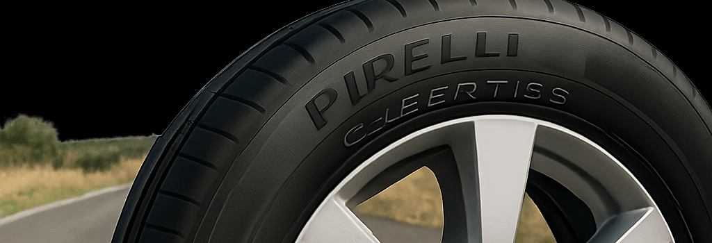
Pirelli Cyber Tires for Road Monitoring in Apulia

Pirelli is expanding its sensor‐equipped Cyber Tire technology beyond supercars into a public infrastructure monitoring pilot in Italy’s Apulia region. By fitting connected tires to a fleet managed by Ayvens, Pirelli aims to capture real‐time data on pavement roughness, temperature, and pressure, feeding millions of data points into cloud‐based analytics for more intelligent road maintenance.
Overview of Pirelli Cyber Tire Technology
The Cyber Tire integrates a high‐precision MEMS pressure transducer, a thermistor array, a six‐axis accelerometer, and onboard signal processing. These components endure over 3,500 g of shock, communicate via Bluetooth Low Energy (BLE) 5.1, and draw power from a 10-gram lithium‐thionyl chloride battery rated for the tire’s service life (40,000 km+). Beyond serving as an advanced TPMS, the platform recognizes tire compound (summer, winter, all‐season) and wear state, enabling adaptive vehicle dynamics control.
Pilot Deployment in Apulia
Starting in July 2025, Apulia’s regional government and Pirelli will deploy 2,000 Cyber Tires across Ayvens’s light commercial vehicle fleet. Each tire streams data to edge gateways installed in the vehicles, then over 4G/5G or private LTE links to a central cloud. There, Pirelli’s dashboards—built on AWS IoT Core and Microsoft Azure Maps—fuse tire sensor feeds with video analytics from a network of roadside cameras managed by Swedish startup Univrses.
“When you systematize factors such as innovation, intelligent planning, and best practices with Pirelli, the result is an historic agreement,” said Michele Emiliano, President of the Apulia Region.
Technical Architecture of the Cyber Tire System
- Sensor Module: Custom ASIC collects pressure, temperature, and vibration data at up to 1 kHz sampling rate.
- Communication Layer: BLE 5.1 provides 2 Mbps throughput; future upgrades will leverage C-V2X (3GPP Release 16) for direct vehicle‐to‐infrastructure links.
- Edge Processing: Onboard MCU filters and compresses raw data, detecting events such as potholes and water patches, reducing backhaul volume by 80%.
- Cloud Analytics: A microservices architecture in Kubernetes hosts real‐time pipelines, employing Apache Kafka for event streams and TensorFlow models for road‐condition classification.
Data Analytics and Machine Learning Models
Pirelli’s algorithms estimate International Roughness Index (IRI) and rut depth by correlating lateral acceleration spikes with GPS traces. A supervised neural network—trained on millions of labeled events—distinguishes potholes from speed bumps with over 92% accuracy. Geo‐referenced metrics feed a GIS platform used by Apulia’s public works department to prioritize resurfacing projects and allocate budgets more efficiently.
“This integration of IoT and AI can transform pavement management and reduce lifecycle costs by up to 25%,” said Dr. Maria Rossi, Professor of Civil Engineering at Politecnico di Milano.
Challenges and Future Outlook
Scaling beyond a pilot will require addressing data privacy, 5G coverage gaps, and standardization. In the U.S., a recent federal review flagged components of the Cyber Tire as potentially subject to the ban on Chinese‐linked connected-car hardware, complicating deployments there. Looking ahead, Pirelli plans to support IEEE 802.11p-based V2X and integrate with Smart City platforms under the EU’s Horizon Europe program.
Additional Context: Regulatory and Market Trends
Regulators are increasingly mandating predictive maintenance data for public roads. In May 2025, the European Commission proposed a directive requiring member states to use digital twins for road networks, opening funding for sensor networks like Pirelli’s. Meanwhile, fleet operators worldwide are seeking turnkey IoT road‐monitoring solutions to cut downtime and repair costs.
Additional Context: Ecosystem Partnerships
Beyond Univrses, Pirelli is in talks with telecom firms to deploy private 5G slices along major highways, ensuring ultra‐low latency for real‐time hazard warnings. Partnerships with GIS software providers will enable dynamic rerouting of vehicles around damaged road segments, potentially integrating with emerging autonomous navigation systems.