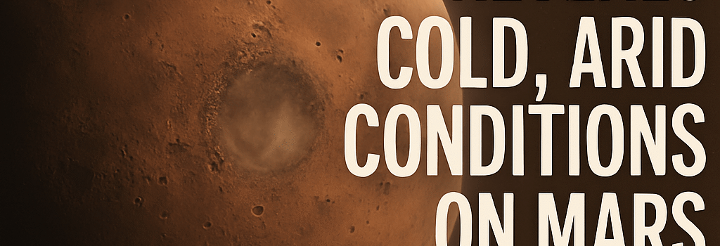
New Model Reveals Cold, Arid Conditions on Mars
Introduction
Recent advances in climate modeling combined with in situ measurements from NASA’s Curiosity rover are reshaping our understanding of early Mars. A new study led by Professor Edwin Kite (University of Chicago) integrates sedimentary carbon data, orbital dynamics, solar evolution, and topography into the first spatially resolved, multi‐billion‐year Martian climate evolution model. The results paint a picture of a world dominated by cold, arid conditions punctuated only briefly by localized melting.
Modeling Mars’ Early Climate
Curiosity’s ascent of Mount Sharp (Aeolis Mons) revealed layers of carbonate‐rich mudstones, suggesting that up to 0.1 bar of ancient atmospheric CO₂ may have been sequestered in minerals like magnesite and siderite. Building on Benjamin Tutolo’s (University of Calgary) geochemical constraints, Kite’s team constructed a 3.5 billion‐year simulation to track the rise and fall of greenhouse forcing and liquid water stability.
Carbonate Sequestration and the Ancient CO₂ Cycle
Using CheMin X‐ray diffraction and SAM mass spectrometry data, Tutolo quantified CO₂ uptake via rock‐water reactions at rates ~10⁻¹⁴ mol·cm⁻²·s⁻¹ at 273 K. Over ~100 million years of episodic aqueous activity, this process could draw down atmospheric CO₂ by ~0.05–0.15 bar—akin to terrestrial limestone formation at 25 °C—dramatically weakening the greenhouse effect.
Building the First Spatially Resolved, Long-Term Climate Evolution Model
Kite’s team integrated this sink into a 3D General Circulation Model (GCM) with 1° × 1° (∼60 km) horizontal resolution and five vertical layers. The model incorporates:
- Updated MOLA topography and gravity data for realistic orography
- Solar luminosity evolution following Bahcall et al. (2001), with LSun(3.5 Ga) ≈ 0.75 L0
- Orbital parameters from Laskar’s 2025 Mars ephemeris (obliquity 15°–45°, eccentricity cycles ~100 kyr)
- Radiative transfer modules accounting for CO₂ non‐LTE cooling and dust/H₂O aerosol feedback
Spatial and Temporal Resolution
- Horizontal grid: 60 km spacing (~1° latitude/longitude)
- Vertical stratification: 5 atmospheric layers from surface up to 50 km
- Time‐stepping: 0.5 Myr intervals over 3.5 Gyr (7,000 steps total)
Key Findings: Fleeting Wet Episodes Amid a Frozen World
The model indicates Mars entered an “era of salts” around 3.5 Ga, characterized by extensive salt deposition during snowmelt at mid‐latitudes. Global mean surface temperatures remained below 250 K, with brief peaks to ~273 K only at obliquity maxima.
Flickering Habitability and Transient Oases
“Our simulations show that liquid water existed only in small, transient oases lasting ∼10⁵ years—far too brief and scattered to sustain a global biosphere on the surface,” says Kite.
Local meltwater events produced shallow lakes and salt flats but left no evidence of sustained, planet‐wide weathering. The cold, periglacial regime likely fostered eutectic brines rather than stable freshwater bodies.
Advanced Modeling Techniques
To refine parameters with large uncertainties—such as dust optical depth (τ ≈ 0.1–1.0) and CO₂ ice albedo (α ≈ 0.2–0.6)—the team used a Bayesian inversion framework with Markov Chain Monte Carlo (MCMC). Runs were executed on NASA’s Pleiades supercomputer using CST v2.4, enabling 512‐core parallelism and reducing computation time from weeks to days.
Implications for Subsurface Habitability
Surface conditions appear too harsh for origin or sustained survival of microbial life. However, deep aquifers remain plausible refugia. Dr. Rebecca Williams (University of Iowa) notes: “Hydrothermal systems along tectonic fractures could have maintained temperatures ∼280 K at depths of 1–2 km, with water‐rock reactions providing chemical energy for chemolithoautotrophs.”
Future Missions and Data Requirements
- ESA ExoMars Rosalind Franklin Rover (2026 launch): Will drill to 2 m depth and analyze organic compounds using MOMA (Laser Desorption Mass Spectrometer).
- Mars Sample Return Phase 2 (2031–2033): Targeting Mawrth Vallis mudstones to map global carbonate distribution and test model predictions.
- IceMapper Orbiter Concept: Proposed SAR radar mission to detect subsurface ice/aqueous reservoirs down to 1 km depth.
Conclusions and Outlook
This pioneering, spatially resolved climate evolution model suggests early Mars was largely a cold desert with episodic, short‐lived wet events insufficient for a stable surface biosphere. Yet subsurface environments—protected from extreme freeze–thaw cycles—remain prime targets in the search for past life.
“With upcoming sample return missions and deeper drilling by Rosalind Franklin, we will refine our models and may finally detect biosignatures within those long-chain alkanes Curiosity spotted,” Kite concludes.