Ancient Han Siege Threatened Chinese Swamp Cypress

New research combining radiocarbon dating, peat stratigraphy and remote-sensing technologies has revealed that a strategic fire set during the Han Empire’s 111 BCE invasion of the Nanyue kingdom not only destroyed a capital city but also drove the Chinese swamp cypress (Glyptostrobus pensilis) to the brink of extinction. This article examines the technical methods behind the discovery, the ecological aftermath, and modern conservation efforts informed by the latest genetic and remote-sensing advances.
Archaeological and Paleoenvironmental Methodologies
Researchers led by Ning Wang (Chinese Academy of Sciences) employed a suite of high-precision techniques to reconstruct the 2,100-year-old ecological catastrophe:
- Accelerator Mass Spectrometry (AMS) Radiocarbon Dating: Outer tree-ring samples from submerged cypress stumps were dated and calibrated against the IntCal20 curve, yielding a synchronous mortality window centered on 111 ± 30 BCE.
- Charcoal Particle Quantification: Peat cores were subsampled at 1-cm intervals. Optical microscopy and image-analysis software measured charcoal concentration (particles/g dry peat), revealing a 300 % spike coincident with the invasion layer.
- Pollen Analysis: Light-microscopy counts of Poaceae, Cyperaceae and Glyptostrobus pollen grains established a shift from cypress-dominated wetland to grass-dominated rice paddies within 5–10 years post-invasion.
- Remote Sensing and Geophysical Surveys: Ground-penetrating radar (GPR) and drone‐mounted LiDAR mapped the distribution of >200 buried stumps across 2,000 km². Data integration in GIS revealed fire scars aligned with the historical march routes of Han columns.
The Han Invasion and the Great Fire
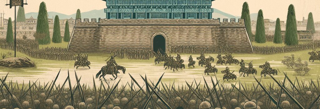
Historical texts record that in 111 BCE, Emperor Wu of Han dispatched 150,000–200,000 troops under General Lu Bode to subjugate Nanyue. According to Sima Qian’s Records of the Grand Historian, Commander Yang Pu ordered the burning of Panyou (modern Guangzhou). Uncontrolled winds fanned flames beyond urban walls, igniting the surrounding swamp forests. Charred tree rings uniformly terminate at the waterline, indicating high-intensity combustion through peat layers.
Post-War Land-Use Transformation
Following the siege, Han administrators implemented large-scale land reclamation to support garrisons. Peat analyses show a dramatic increase in Poaceae pollen (from 10 % to 65 %), alongside persistent charcoal deposition. Concurrent marine-sediment cores record elevated copper and lead fluxes—evidence of on-site bronze tool production and coin minting.
Modern Conservation Efforts and Genetic Insights
Today, Glyptostrobus pensilis is classified as Critically Endangered by the IUCN. No wild populations persist in China; remnant stands in Vietnam number fewer than 1,000 mature individuals. Recent efforts include:
- Ex Situ Germplasm Banks: Botanical gardens in Guangzhou and Hanoi maintain seed and tissue collections. Cryopreservation protocols for cypress embryonic axes are being optimized to sustain genetic diversity.
- Population Genomics: A 2024 ddRAD-seq study led by Dr. Chen Li (University of Beijing) sequenced 120 individuals across five remnant sites. Results revealed low heterozygosity (Hₒ = 0.12) and strong genetic structuring, guiding targeted cross-site seed exchanges.
- Reintroduction Trials: Pilot plantings in reconstructed wetland reserves use hydrological modeling and eDNA monitoring to ensure optimal soil-water regimes and early detection of pathogens.
Implications for Wetland Carbon Sequestration
Buried cypress peat stores an estimated 1.2 Pg of organic carbon across the delta. Dr. Maria Thompson (University of Cambridge) notes that the ancient fire and subsequent drainage likely triggered a multi-century CO₂ pulse. Restoring G. pensilis populations could revive long-term carbon sinks, contributing to national climate targets.
Expert Commentary
“This case study underscores how military actions can precipitate lasting ecological shifts,” says paleobotanist Dr. Anna Müller (Max Planck Institute). “Integrating archaeogenomic data with paleoclimate proxies allows us to quantify human impacts on carbon dynamics more precisely than ever before.”
Lessons for Contemporary Ecosystem Management
- Historical fire regimes must inform fire-management policies in subtropical wetlands.
- Combining LiDAR and GPR mapping aids in identifying concealed conservation hotspots.
- Genetic rescue via assisted migration could bolster G. pensilis resilience under future climate scenarios.
By merging cutting-edge tech with classical archaeology and ecology, researchers are not only unraveling the story of a 2,000-year-old forest fire but also charting a path to revive one of the world’s rarest conifers.