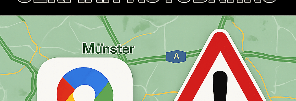
Why Google Maps Misflagged German Autobahns
Overview of the Incident
On Thursday, May 29, 2025, a transient data-processing anomaly in Google Maps caused the platform to display hundreds of false road closures on Germany’s autobahns, as well as stretches of highways in Belgium and the Netherlands. The error persisted for roughly two hours during one of the busiest travel windows—a four-day holiday weekend—prompting widespread detours, unexpected congestion on secondary roads, and numerous reports to local authorities.
Immediate Impact on Drivers
- Users saw red stop icons and “closed” labels on prime >100 km/h autobahn segments.
- Alternate routes swelled beyond design capacity, with traffic volumes up to 150 percent of normal, according to live feeds from Waze sensors.
- Relying solely on Google Maps, many drivers mistrusted local signage, leading to delays of up to 45 minutes.
Technical Architecture of Google Maps Traffic
Google Maps aggregates real-time traffic using a multi-layered pipeline deployed on Google Cloud:
- Data Ingestion: GPS traces from Android devices, iOS opt-in data, and third-party feeds (TomTom, Inrix).
- Stream Processing: Apache Beam jobs on Cloud Dataflow normalize position points and compute link speeds.
- Machine Learning Models: TensorFlow-based regression networks predict speed deviations, blending historical patterns with live data.
- Frontend Rendering: Vector tile updates propagate through edge-cached Content Delivery Networks in milliseconds.
Potential Failure Modes and Root Causes
- Data Pipeline Misconfiguration: A misrouted Dataflow job could have applied stale or forecasted closures rather than live sensor readings.
- AI Hallucination: Newly introduced predictive traffic features may have over-extrapolated heavy volumes, tagging open routes as jammed.
- User Report Flood: Anomalous bursts of user-submitted closure reports might have triggered automated heuristics.
Security Considerations and Adversarial Risks
Geospatial platforms are vulnerable to data poisoning and adversarial inputs. If threat actors inject false reports at scale, real-world traffic could be manipulated. Experts recommend:
- Strong authentication on user reports (rate limits, device attestation).
- Cross-validation with official feeds from transport authorities.
- Automated anomaly detection wrapping ML outputs.
Comparative Analysis with Other Platforms
Apple Maps leverages HERE and TomTom for live speeds, while Waze—despite being part of Google—uses a separate crowd-sourced network with client-side filtering to resist mass-report spam. In this incident, only Google Maps misreported closures, underscoring differences in data fusion strategies.
Mitigation Strategies and Future Safeguards
In response, Google has begun:
- Deploying canary releases for any new ML traffic model.
- Integrating stricter health checks on Dataflow jobs.
- Adding real-time cross-source reconciliation with official state transport APIs.
“They can’t have closed ALL the motorways!” lamented one social media user, highlighting widespread disbelief at the scale of the false alarms.
Conclusion
While Google continues to investigate the precise root cause, this event highlights the complexity of scaling AI-driven mapping services. Drivers are advised to verify critical routes using multiple apps and official updates until more robust safeguards are in place.