Enhancing Air Quality Monitoring During Wildfire Threats
By Claudia López Lloreda | Updated Aug 15, 2025
The Downtown Manhattan skyline once again turned red in June 2025 as wildfire smoke from Canadian boreal forests blanketed the Northeast. As megafires intensify with climate change, traditional air quality monitoring infrastructure in the US is under unprecedented pressure.
Shifting Dynamics in Air Pollution Control
In 2015, Tracey Holloway, an atmospheric scientist at the University of Wisconsin–Madison, celebrated decades of declining industrial and vehicle emissions across the US. But over the past three summers, wildfire plumes have periodically driven PM2.5 concentrations above 150 µg/m³—levels classified as “unhealthy” or even “hazardous” by the EPA’s Air Quality Index (AQI).
“Wildfire smoke is erasing the gains we’ve made on pollutant controls,” warns Nga Lee “Sally” Ng, aerosol researcher at Georgia Tech.
Legacy Infrastructure and Emerging Gaps
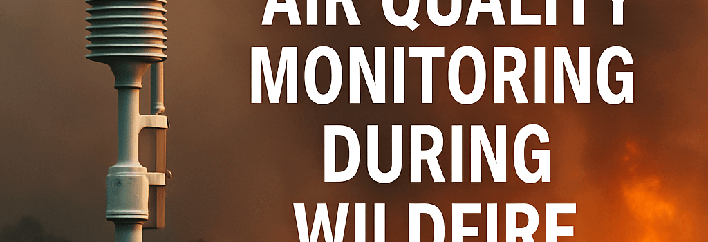
Since the 1970 Clean Air Act, the EPA’s network of 4,821 Federal Reference Method (FRM) monitors has tracked pollutants like ozone (O3), nitrogen dioxide (NO2), sulfur dioxide (SO2), carbon monoxide (CO) and particulate matter (PM). But each FRM unit costs ~$50,000 plus $5,000/year in maintenance, so agencies cluster them near urban areas and known industrial hotspots.
- 59% of US counties, home to 50M+ residents, lack any FRM station.
- 120M Americans live in counties without PM2.5 monitors, per Reuters (2024).
- States in the rural South and Midwest are disproportionately underserved.
These “air quality deserts” leave communities blind to sudden spikes in toxic metals—lead from burning structures and vehicles, mercury from biomass fuels—and volatile organic compounds (VOCs) in wildfire smoke.
Enhanced Coverage: Low-Cost Sensor Networks
To fill gaps, state and local agencies are deploying optical particle counters and electrochemical sensors that cost $200–$1,000 each. For example, New York’s Community Air Monitoring Initiative operates 200 low-cost PurpleAir sensors calibrated against FRMs, capturing real-time PM2.5 at 1-minute intervals.
“Crowdsourced data improves spatial resolution to 500m grids,” says Mary Uhl, Western States Air Resources Council.
Satellite Monitoring and Geospatial Analytics
Spaceborne instruments like ESA’s TROPOMI and NASA’s TEMPO geostationary spectrometer now map NO2 and aerosol optical depth (AOD) with 5×3 km resolution across North America every hour. Analysts integrate these measurements with ground data using data assimilation in the NOAA’s HRRR-Smoke model, producing 3D plume forecasts out to 60 hours.
- High-resolution LIDAR on CALIPSO profiles smoke layer heights.
- AI-driven fusion algorithms downscale satellite AOD to surface PM2.5.
Section: AI-Driven Smoke Forecasting Models
Advances in machine learning enable rapid plume dispersion predictions. Researchers at UC San Diego developed a convolutional neural network trained on historical MODIS and VIIRS fire radiative power data. The model forecasts PM2.5 exceedances with 85% accuracy 48 hours ahead, outperforming traditional Gaussian plume models.
“AI can learn complex interactions between meteorology, topography, and fire behavior,” explains Dr. Andrew Holbrook, NOAA Air Quality Division.
Section: Cloud-Based Data Aggregation and Analytics
Cloud platforms like AWS IoT and Google Cloud Pub/Sub ingest millions of sensor readings per day. Using serverless architectures and BigQuery-style analytics, agencies can run real-time anomaly detection to flag spikes in PM2.5 or CO. Interactive dashboards built with Grafana allow public health officials to overlay hospital admissions and school closures with pollution maps.
Section: Next-Generation Air Quality Sensors
Emerging hardware leverages laser scattering with multi-wavelength detection to characterize PM1, PM2.5, and PM10 simultaneously. Startups like AeroPhotonics are developing MEMS-based spectrometers to detect black carbon and organic carbon fraction in smoke. Field tests in California’s 2025 Dixie Fire wildfire show 95% correlation with reference-grade TEOM analyzers.
Recommendations for a Resilient Monitoring Network
- Expand low-cost sensor networks in underserved counties, focusing on environmental justice zones.
- Integrate AI-based forecasts and satellite data into state air quality agencies’ workflows.
- Invest in next-gen sensors capable of chemical speciation of PM2.5 and VOCs.
- Standardize calibration protocols between FRMs and community sensors.
Despite the unprecedented challenges posed by wildfires, the fusion of high-grade monitors, crowdsourced data, satellite observations, and AI-driven analytics offers a path to equitable, real-time air quality insights and better public health protection.
Originally published on Undark. Updated with the latest sensor deployments, AI models, and satellite capabilities.